• Skip to main content

Duchesne River and Tributaries of Utah

  • Home
  • Maps
  • Reservoirs
    • Big Sand Wash Reservoir
      • BSW Toe Drains
      • BSW Deliveries
    • Twin Pots
    • Moon Lake
    • Browns Draw
    • Bottle Hollow Reservoir
  • Rivers & Canals
    • USGS Collectors
    • BSW Feeder Diversion
    • US Lake Fork
    • Uinta White Rocks
    • Uinta Division
    • Red Creek
    • All Rivers in Duchesne County (USGS)
    • Upper Duchesne
    • Middle Duchesne
    • Lower Duchesne
    • Duchesne Diversion
    • East Duchesne Pump
    • Lake Fork
    • Class B
    • Dry Gulch Class C
    • Dry Gulch Class D
    • East Side Dry Gulch
      • Bennett Pond
    • Farnsworth Canal
  • Roosevelt Pipeline
    • Cemetery Turnout
    • State Road Turnout
    • Roosevelt Turnout
  • Weather
    • MLWUA Weather Links Page
    • Duchesne Weather Station
    • Sandwash Creek Weather Station
    • Pioneer Weather Station
    • Uintah Basin Weather Links
    • SNOTEL Tabular Report
    • SNOTEL
  • Reports
    • Data by Telephone
    • Battery Voltages
    • Time Daily Data Inserted
    • Station Tabular Reports
    • Full Stations Report
    • Lake Fork River Commissioner Reports & Graphs
    • Customized Reports
    • Moon Lake Water Users Association Reports
    • Uintah & Whiterocks River Commissioner Reports
  • Multimedia
    • New Jasper Pike Diversion
  • About
    • Sitemap
    • Frequently Asked Questions
    • ExacTraq API

Uintah Basin Weather Links

National Weather Service
Current Weather Conditions at Vernal Airport.
Zone Forecast for Utah
Utah Area Forecast Discussion
Current Warnings for Utah
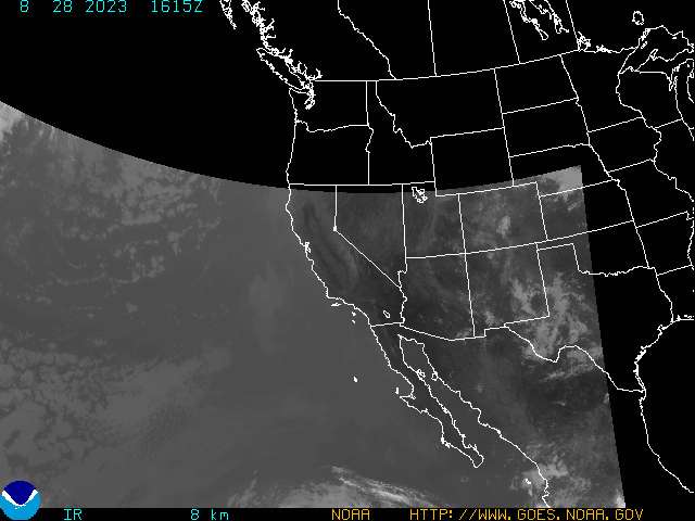
Satellite Imagery
GOES 10 Western US IR Image
MPEG animation of GOES 10 Western US IR Image
  • Home
  • Maps
  • Reservoirs
  • Rivers & Canals
  • Roosevelt Pipeline
  • Weather
  • Reports
  • Multimedia
  • About

Copyright © 2026 · Altitude Pro on Genesis Framework · WordPress · Log in